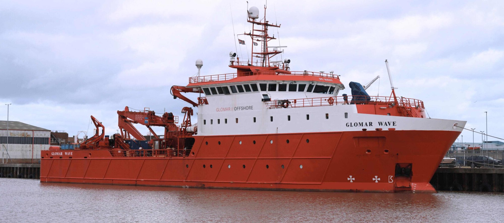
Marine site characterisation
Provision of hydrographic, UXO and multi-sensor geophysical surveys, dimensional control surveys and specialist geomatics survey services
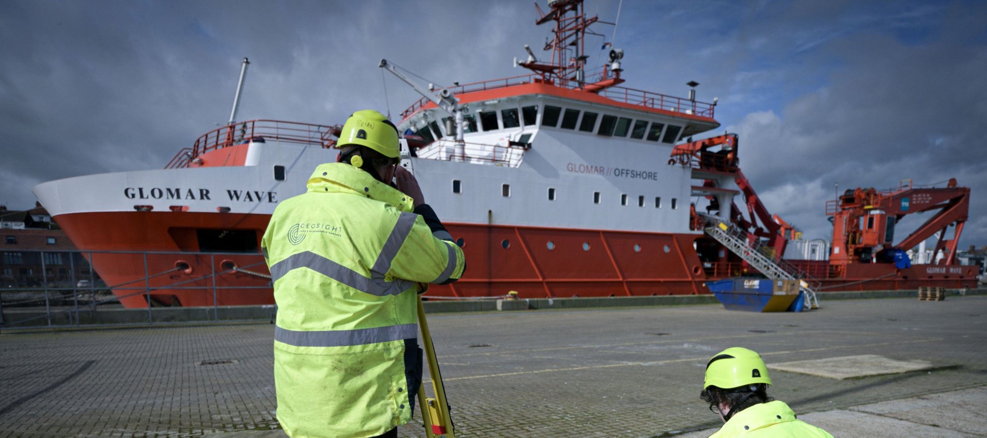
Development
(Nearshore and Offshore)
At this critical stage, we provide a broad range of site characterisation services to inform site layout and facilitate engineering decision making. We provide the insight into seabed, and sub-seabed conditions, including identification of UXO, items of archaeological interest and marine habitat distribution & assessment.
%20(2).png?width=1460&height=830&name=Untitled%20(1460%20x%20830%20px)%20(2).png)
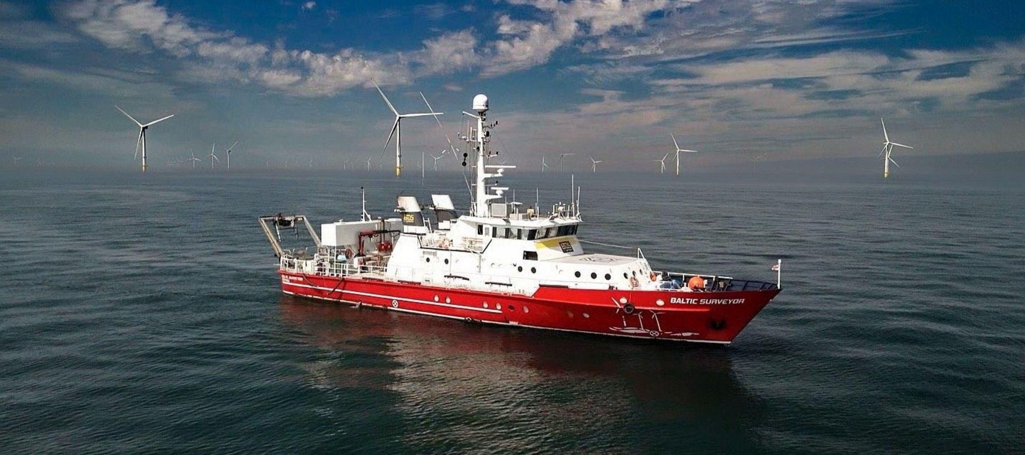
Construction
(Nearshore, Offshore, Positioning Support)
We specialise in survey services to accurately visualise and verify as-built conditions of foundations and cables. This includes pre and post-lay survey, pUXO identification, clearance survey and positioning support and cable depth of burial.
%20(3).png?width=1460&height=830&name=Untitled%20(1460%20x%20830%20px)%20(3).png)
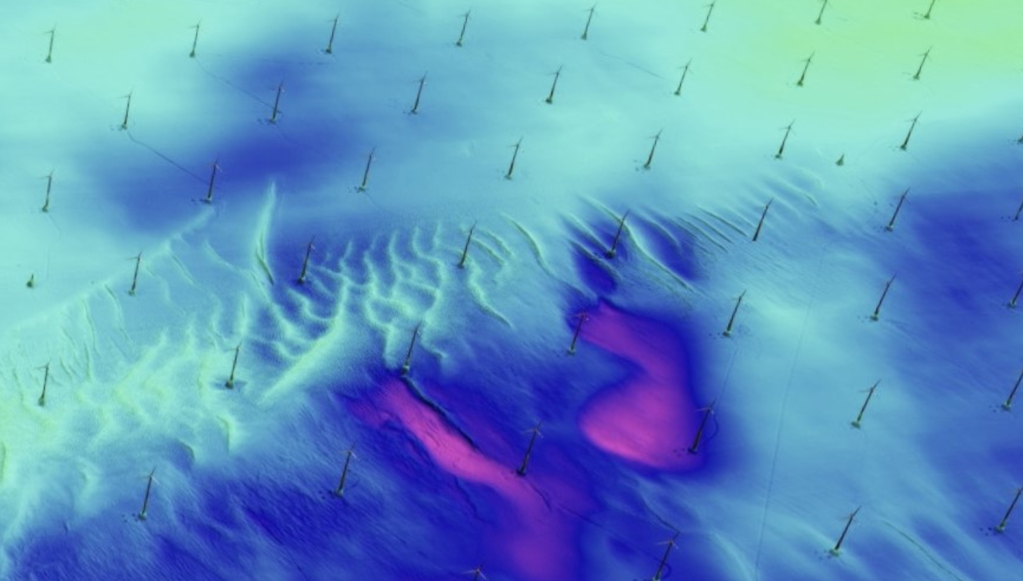
Operations and maintenance
(Nearshore, Offshore, Positioning Support)
Our survey services support asset integrity management through a wide range of techniques, including MBES, pulse induction technology, and side scan sonar. We also identify the need for early intervention using raw 3D imaging and metrology data. Additionally, we provide surveys for export and array cable scour monitoring.
%20(5).png?width=1460&height=830&name=Untitled%20(1460%20x%20830%20px)%20(5).png)
Decommissioning
Leveraging our extensive knowledge and expertise, we offer survey and positioning services throughout the entire lifecycle of asset up to decommissioning. Our services provide owners with precise historical data and comprehensive service records, ensuring a seamless and efficient decommissioning process.
Marine site characterisation
Geophysical surveys
Comprehensive geophysical surveys are the foundation for the effective design and construction of marine structures and subsea installations. Our experienced team of hydrographers and geophysicists are supported by an array of modern technology solutions such as multibeam echosounders, sidescan sonar , hull mounted sub bottom profiler, gradiometer and towed-seismic systems to provide the critical insight into seabed and sub seabed conditions.
UXO surveys
Surveying for potential UXO on and below the seabed is a critical stage during the planning for any marine installation project. At OEGR our teams regularly perform marine UXO and debris detection surveys with industry standard techniques, utilising multibeam echosounder and sidescan sonar to image the seabed in high resolution and towed gradiometers to detect ferrous objects that lay exposed on the seabed and buried below
Hydrographic surveys
Our team of qualified hydrographic surveyors, supported by a fleet of modern multibeam systems, GNSS and motion reference units allow us to work extensively in the capture of hydrographic data for critical safety of navigation and charting, site characterisation, marine aggregates and dredging operations, coastal protection and pre and post construction surveys.
Nearshore surveys
Nearshore and inland marine geophysical surveys - We are specialists in the conduct of nearshore and inland waterway geophysical surveys. Utilising a variety of techniques and technologies with both small manned and unmanned vessels equipped with GNSS positioning, Multibeam, Sidescan Sonar, Magnetometer and Sub-Bottom Profilers; data can be captured for bathymetric charting, feature and object detection and determination of the shallow seabed geology. Our surveyors have many years’ experience of geophysical surveys for a broad range of projects and applications.
Port and harbour bathymetric surveys - We can offer complete or partial surveys of a port; using multibeam sonar to map below the waterline including the seafloor and quay wall structures, through to laser scanning buildings, pontoons and slipways. Our highly qualified and experienced surveyors are experts in conducting shallow water bathymetric surveys. We can capture precise hydrographic information to support the safety of navigation in compliance with the Port Marine Safety Code. From depth charting to locating submerged obstructions, our team have over 20 years of experience in this field.
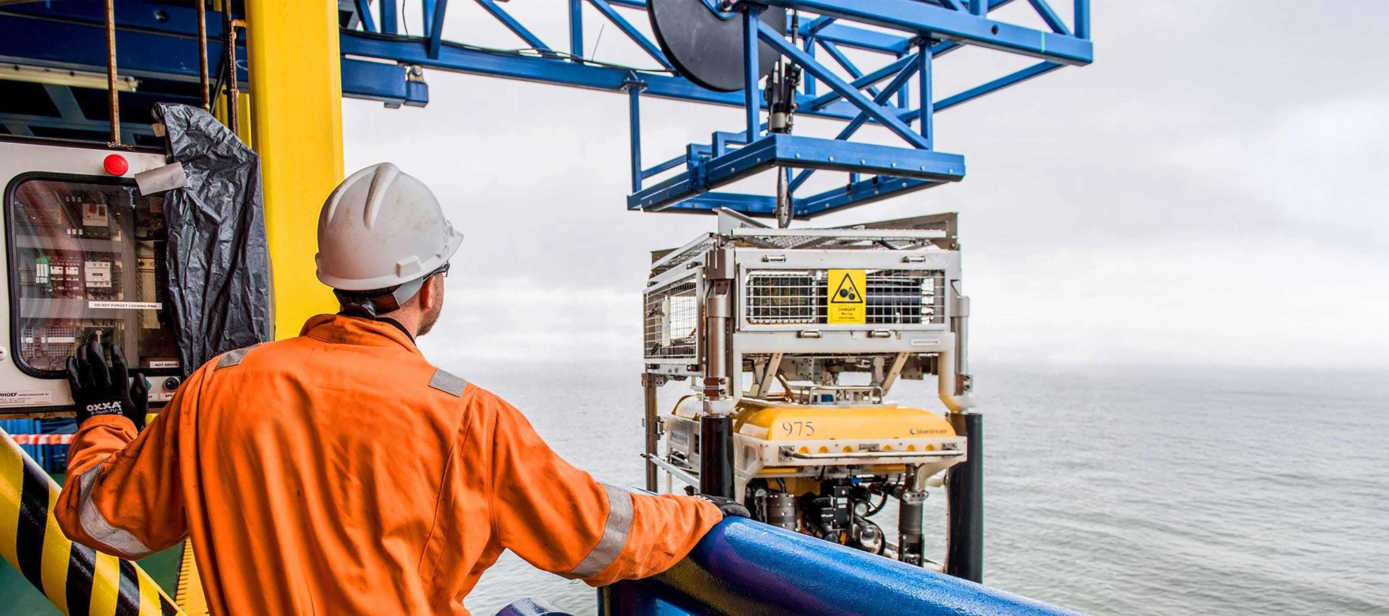
Construction support and offshore positioning
pUXO Identification
Managing and mitigating the risks of UXO during offshore development is something the team at OEGR are able to manage in its entirety. From completing the initial geophysical survey to identify non-UXO and potential UXO objects, we can then perform the inspection to positively identify non-UXO or actual UXO objects. Our survey and positioning team provide surface and subsea positioning solutions across the full range of nearshore and offshore vessels and subsea vehicles involved in pUXO identification, allowing targets to be accurately located, investigated using industry leading techniques, and the seabed to be mapped in high resolution following detonation and removal.
Archaeological assessment
Ground truthing features with archaeological potential identified during initial geophysical surveys is a critical step that our teams can support in full, including the provision of accurate positioning of ROV’s and processing of ROV mounted TSS data to identify concentrations of material. This critical step is used to validate the predictions made in the geophysical data and to inform selection of appropriate mitigation in relation to Archaeological Exclusion Zones (AEZs) during construction works.
ROV inspection
Our survey and positioning team are capable of supporting the full array of ROV inspection surveys on subsea structures. This includes providing accurate surface and subsea positioning for the vessel and subsea vehicle, and the ROV survey tooling and data processing required for the performance of high-resolution inspection campaigns using multibeam echosounders, 3D photogrammetry, Sidescan Sonar and video imaging.
Seabed preparation
Our survey teams provide critical positioning and survey support during seabed preparation campaigns which can include boulder removal, seabed rock installation, trenching and backfilling and Controlled Flow Excavation works. We provide topside vessel positioning and helm display and Subsea positioning and orientation. We can fit and operate survey sensors to provide real-time trench depth monitoring and As-left Multibeam and Depth of Burial surveys.
Specialist geomatics
Vessel dimensional control surveys
We provide a full Dimensional Control service to vessels of all sizes, afloat or ashore. Through this process any node can be coordinated to a defined vessel reference frame (VRF).
Through independent tracking of the vessel motion we can calibrate any vessel motion sensors to within their specified tolerances.
Once calibrated, our methodology allows for all offsets and motion calibration to be verified, giving you the confidence and certainty that the vessel system will gather accurate subsea data.
Terrestrial surveying
Topographic Surveys - For detailed documentation of the built and natural environment, we can assist by accurately mapping and providing geospatial data to assist with the project lifecycle.
Laser scanning - For a more detailed documentation of the environment, we can provide point cloud and modelling services.
Beach and near shore surveys - In combination with offshore surveying services, we can provide the complete shore to sea survey solution.
Measured building surveys - We can undertake full measured build surveys, either as drawings, point clouds or BIM. Suitable for using in conjunction with topographic or engineering surveys.
Engineering surveys - For the full lifecycle of Civil Engineering projects, we can assist by providing initial site, construction setting out and as built surveys to position and document the construction process.
Port infrastructure surveys - To support Civil engineering work in and around ports and harbours, we have the full capability to map above and below the waterline.
GEOBASE
GEOBASE is a software application uniquely designed to provide hydrographic surveyors with an independent resource for conducting a vessel dimensional control survey, an attitude and heading sensor calibration, and a GNSS position verification.
This allows users to create an independent database which can be used to manage and quality assure the geometry of the vessel and its installed survey sensors and their relationship to each other for the life cycle of the vessel and or the project on which the vessel is engaged.
Bespoke training courses to help your surveyors get the best from their vessel survey system.
Marine engineering
Vessel Scanning and Modelling - We can can provide a complete service towards documenting your vessels and marine assets.
Metrology surveying - For projects ranging in size from individual components to full vessel hulls, requiring sub mm accuracy, we can provide scanning, modelling and reverse engineering capabilities to suit.
Vessel stability and draft mark surveys - We support naval architects and commercial vessel owners with geometric data, compliant with Merchant Shipping Notice 1823(M). Our onboard measurements and dynamic tracking of vessel motion provides data for stability and trimming calculations. Our engineering surveying capabilities allow us to accurately validate principal dimensions, volumetrics, draft and loadline marks and provide corrected positions in accordance with SI 1993 No. 3138 Schedule 3.6. The accuracy of our survey methods has been witnessed and confirmed by the MCA.
Our technical experts

Marine site characterisation
Jack Boorman
%20(1100%20x%20830%20px)%20(1200%20x%20675%20px)%20(3600%20x%201600%20px)%20(1460%20x%20830%20px)%20(3600%20x%201600%20px)%20(1360%20x%20705%20px)%20(1360%20x%20705%20px).jpg?width=1360&height=705&name=Untitled%20(1460%20x%20830%20px)%20(1100%20x%20830%20px)%20(1200%20x%20675%20px)%20(3600%20x%201600%20px)%20(1460%20x%20830%20px)%20(3600%20x%201600%20px)%20(1360%20x%20705%20px)%20(1360%20x%20705%20px).jpg)
Construction Support & Positioning
Alex Richards

Specialist Geomatics
Mathew Deacon